City of Glendora Silent Ranch Tentative Tract Map Debris Flow Analysis
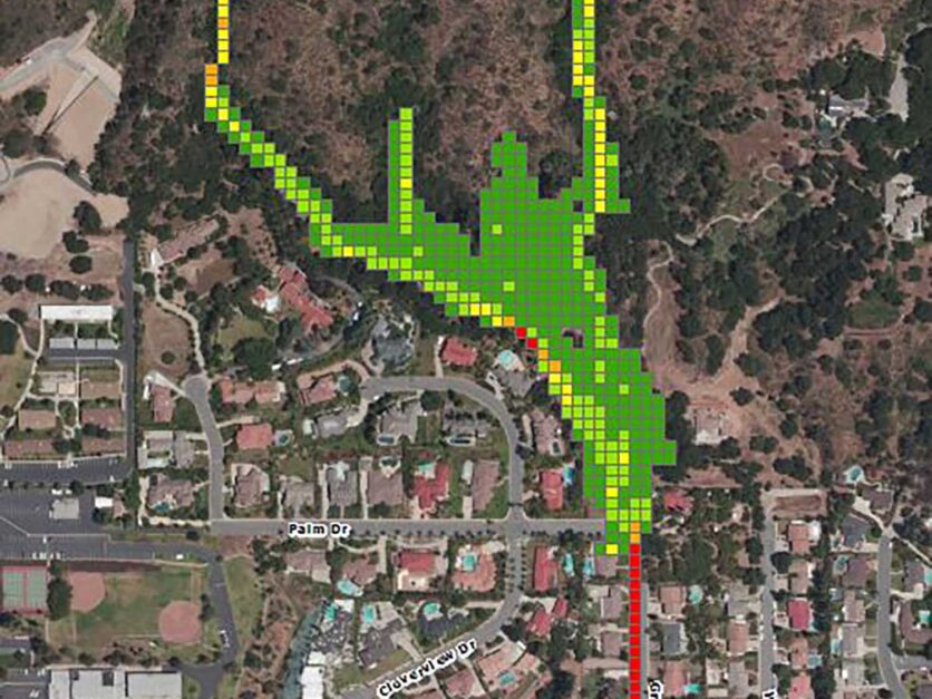


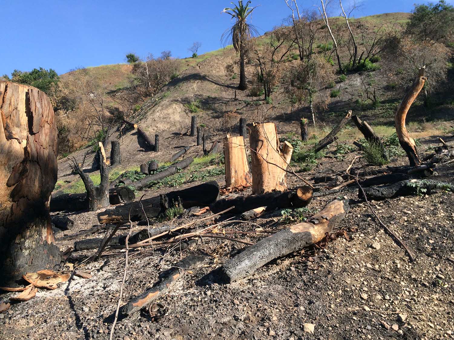
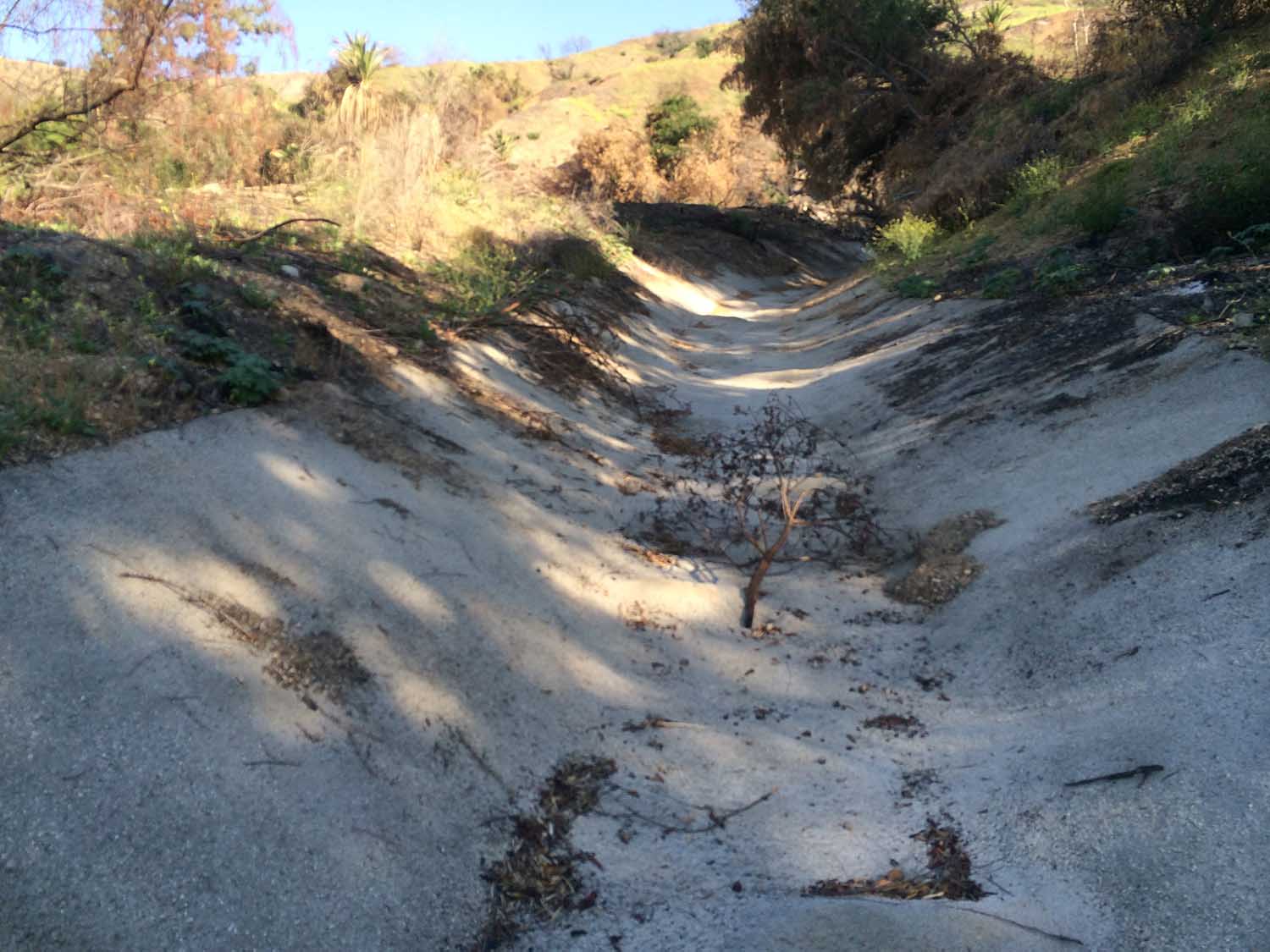
CWE performed a debris flow analysis of the Silent Ranch Tentative Tract Map (TTM) 72413. The watershed in this area was burned by wildfires in January 2014, leaving the area without vegetation.
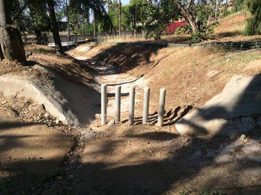
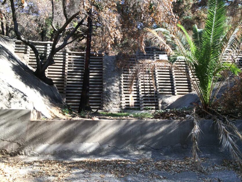
Protecting the existing housing and infrastructure within the tract was a key task. CWE helped develop alternative solutions to meet the City and County standards for protection.
To do this, a full tract evaluation was conducted. The watershed hydrology and debris potential were established. This was compared to existing topography and features. Evaluations were done on the impact of the current topography on debris flow. Hydrographs were established and models of existing conditions were created. Mudflow patterns, debris deposition areas and potential hazards were analyzed.
From these existing studies, potential improvements were evaluated. These were narrowed down based on the City and County’s established best practices while also giving consideration to viable new approaches. Worthy alternative solutions to all existing areas were established and added to the study.
The final study recommended locations for debris containment facilities acceptable to the Los Angeles County Flood Control District (LACFCD) for future Operations and Maintenance (O&M).
Details
Client:
Start Date:
End Date:
Tasks Included
- Determine Watershed Hydrology/Debris Potential
- Existing Topography & Features
- Debris flow hydrographs
- Model Existing & Proposed Conditions
- Analyze Mudflow Patterns, Debris Deposition Areas & Hazards
- Develop Alternatives to Meet City and County Standards

